
#EAS #WEA for Laclede, #MO; #Texas, #MO; #Wright, #MO: National Weather Service: #TORNADO WARNING in this area until 5:45 PM CDT. Take shelter now in a basement or an interior room on the lowest floor of a sturdy building. If you are outdoors, in a mobile home, or in a vehicle, move to the closest substantial shelter and protect yourself from flying debris. Check media. Source: NWS Springfield MO ** DO NOT RELY ON THIS FEED FOR LIFE SAFETY, SEEK OUT OFFICIAL SOURCES ***


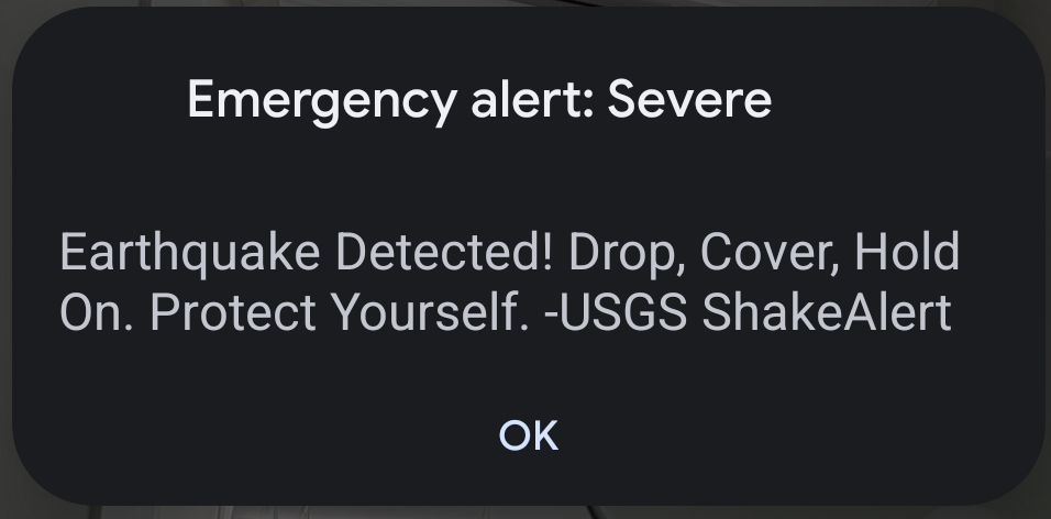
 *hust* wird das hier ab ner gewissen Stärke automatisch ins Wireless Emergency Alert System (CellBroadcast) eingespeist. Und ja, liebe Einrichtungen in